Geo-scientific Greenland traverse with Frank Polte
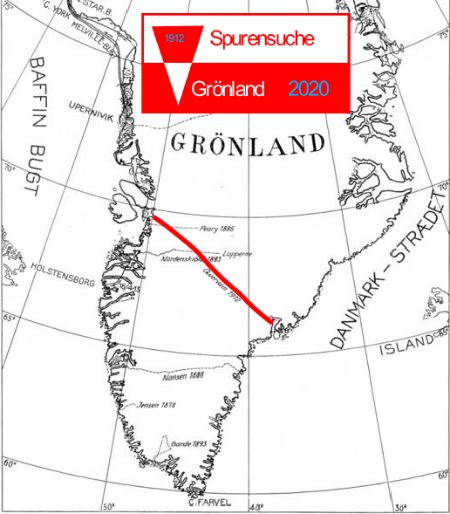
Iceploration conducts expeditions to research climate-related changes in the ice cap in Greenland and study its consequences. The main goal is to repeat the scientific ice sheet traverse initiated in 2002 by Prof Wilfried Korth from Beuth University in Berlin. Technically, this geodetic traverse started way back in 1912 when Swiss scientist Alfred de Quervain crossed the ice sheet of Greenland using dog sledges.
A few weeks after capping off his latest escapade, Frank talked to us to share more about his 8th expedition to Greenland, and his insights to global climate change.
How did you prepare for the expedition?
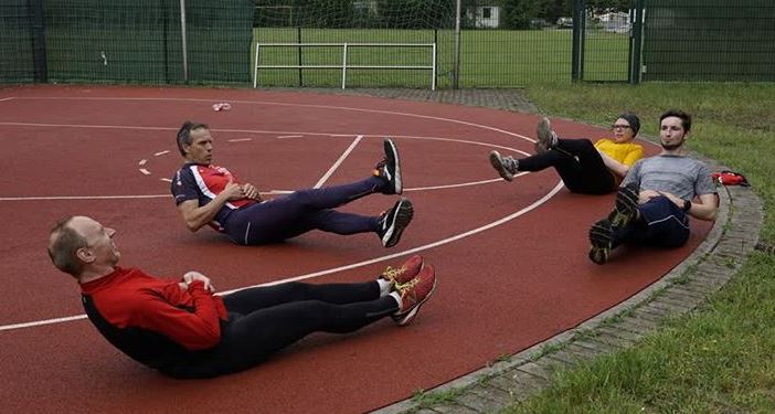
We had a training tour to “Hardangervidda” in Norway last year and we had a training plan to get in the best possible physical shape for the expedition. The coronavirus pandemic made it challenging especially training together with the team, so we had individual training plans.
What made you decide to join Iceploration? What does this mean to you on a personal level?
I joined in 2006 because of the adventure and challenge (I love Greenland and the Arctic), and as a land surveyor, I find it interesting to be able to contribute to the project.
This year was different since the head of the project died in an accident last year. It would have been cancelled if not for my contribution, but because I think it is for a valuable cause, I took the challenge as the expedition leader to continue the project and contribute to science.
How did you and your team measure the changes in the ice sheets? How will you compare the data from previous years?
The height profiles are compared between the 7 measurement campaigns since 2002–the visualisation and calculation of how much is lost and how much is gained. We compared the kinematic measurements of ice thickness from 2015 and 2020 and the measurements from all years since 2002. We also compare the results of satellite data to the elevation at locations of our track.
Moreover, we contribute to ice mass balance calculations with our snow density measurements.
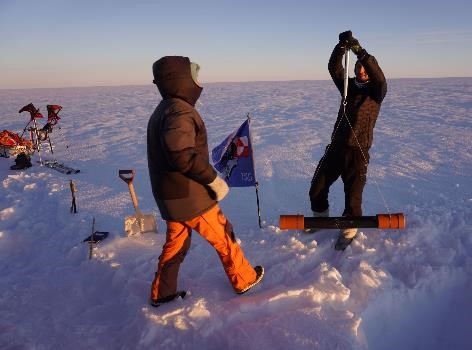
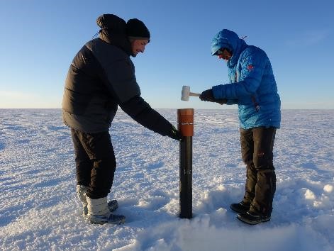
Could you describe what the expedition is like?
Crossing Greenland self-supported is one of the ultimate adventures on this planet. It is quite similar to the experience of the great explorers about 100 years ago, except with better equipment and more safety infrastructure this time. It is an extremely challenging experience both physically and mentally.
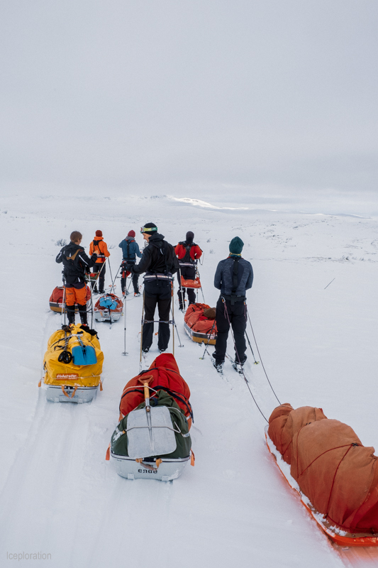
What were the challenges you encountered?
Oh…many!
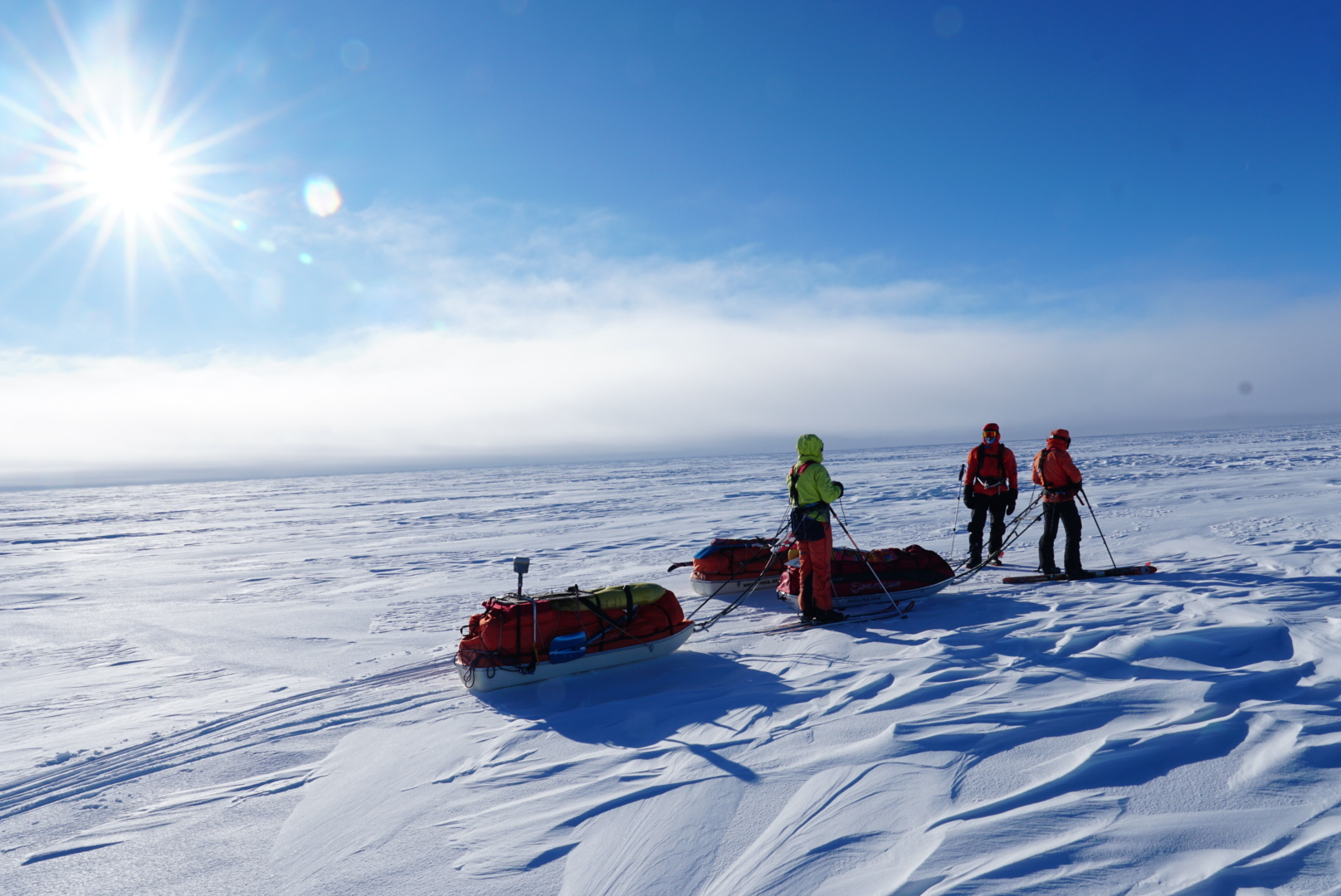
First of all, it was very challenging to carry out the expedition during the coronavirus pandemic–this alone is an achievement. Secondly, we got lots of bad weather with head winds and very low temperatures. At the end, we had 3 weeks of much lower temperatures than the coldest historic ice crossing in 2015. The average temperature was 10 degrees less in comparison and quite often, below -20 and -30 deg C. We were forced to get air lifted out with a helicopter before we reached our goal, because of frost bite to fingers and toes and continuous extreme weather. Winter came too early and was extremely cold.
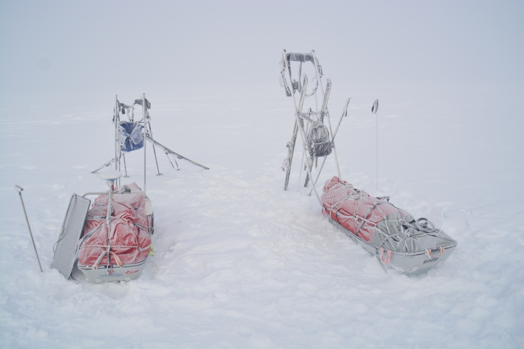
What is your biggest takeaway in this expedition from the adventure and sports expedition perspective?
For me, the most important takeaway would be to respect nature and pull out in due time. It means that you shall judge your abilities right and turn around early enough if nature is too harsh.
There are 10 old Norwegian mountain weather rules. Rule No. 8 reflects this: “vend I tide – det er ingen skam å snu” which translates to “turn around in time – it is no shame to turn around.”
What is your biggest takeaway in this expedition from the climate-change perspective?
We were very surprised, almost shocked, about the enormous melt down and change of the surface at the start of the ice sheet at the east side. This was my 8th expedition to Greenland and I saw the changes clearly with my own eyes.
The climate changes affect all people on the planet. The changes might not be easy to recognise because there are naturally huge climate variations which I experienced, especially in Greenland. During the 2006 ice cap crossing, we had a very mild weather with rain in the middle of the ice cap at an altitude of 2,500m above sea level. This year, we had extreme cold temperatures below -30 deg C for a prolonged period at the same place and time of the year. With these kinds of extremes, which are in the normal range of annual variations, it might be difficult to see the climate changes for us humans. Therefore, the long-term work from scientists is very important. The changes in ice elevation (mass balance) is critical to track and understand its consequences. Climate change is real, and it is already affecting us significantly.
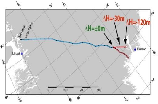
This graphic is a very simplified visualisation of the results of our measurements on the elevation profile. This shows the dramatic changes and the massive melt down of the Greenlandic ice sheet over the last 15 years.
Visit https://iceploration.wordpress.com/ for more information about their latest adventure.